Top Warning Information Unavailable, error fetching or reading data from the NOAA advisories server.
|
|
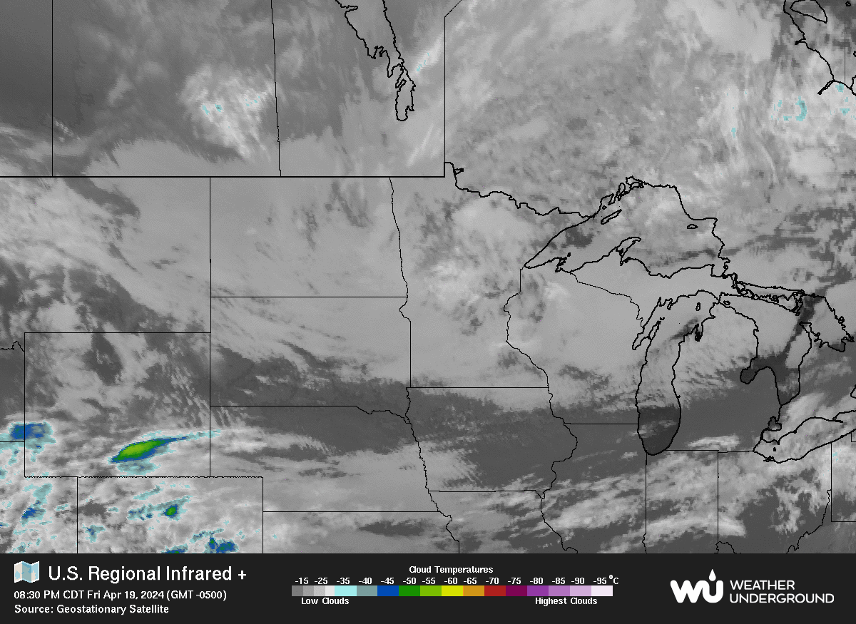
| Radar/Satellite images courtesy of Weather Underground. | |
|
METRIC |
IMPERIAL
|
Updated: 22-Jun-2026 @ 11:30am | |||||||||||||||||||||||||||||||||||||||||||||||||||||||||||||
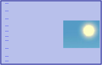
| Temperature | Current Conditions | Forecast / Storm Prediction | ||||||||||||||||||||||||||||||||||||||||||||||||||||||||||||
|
|
|
||||||||||||||||||||||||||||||||||||||||||||||||||||||||||||
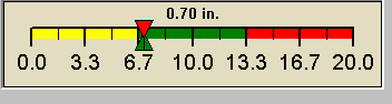
| Dew Point | Liquid Precipitation | Wind Speed | Sun/Moon | |||||||||||||||||||||||||||||||||||||||||||||||||||||||||||
|
|
|
| |||||||||||||||||||||||||||||||||||||||||||||||||||||||||||